|
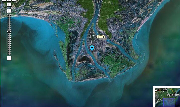
Welcome to the Nachugunta google satellite map! This place is situated in Krishna, Andhra Pradesh, India, its geographical coordinates are 15° 47' 0" North, 80° 53' 0" East and its original name (with diacritics) is Nāchugunta. See Nachugunta photos and images from satellite below, explore the aerial photographs of Nachugunta in India.  IOTA number for the Nachugunta is AS-199. The operation starts from 4th December 2008 to 7th December 2008. The special Call Sign will be used as AT2RS.
|

